Smarter Farming, From the Sky
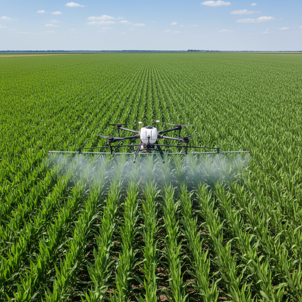
Multi-nozzle drone covering acres per hour with GPS-guided accuracy
Get an Instant Price Estimate
Tell us your crop and acreage — we'll show you a cost range for each service.
Select a Service to Estimate:
All Agricultural Drone Packages
Precision Fertilizer Spraying
$8–$18/acre
Multi-nozzle agricultural drones deliver liquid fertilizer with GPS precision — reducing waste by up to 30%.
- GPS-guided spray path
- Variable rate application
- Coverage report included
- Up to 40 acres/hour
- Liquid NPK or custom blends
Pesticide & Herbicide Application
$10–$20/acre
Targeted drone spraying eliminates pests and weeds with minimal chemical runoff.
- NDVI-guided targeting
- Reduces chemical use by 30%
- No soil compaction
- Works in wet fields
- EPA-compliant application
Crop Health NDVI Imaging
$3–$8/acre
Multispectral imaging identifies stressed crops, water stress, and nutrient deficiencies before visible.
- Full field health map
- NDVI + NDRE indices
- Problem zone flagging
- GIS-compatible output
- Delivered in 48hrs
Seeding & Cover Crop Planting
$6–$14/acre
Drone seeding for cover crops, reforestation, or overseeding — no equipment on the field.
- Precision seed placement
- Variable rate seeding
- Works on wet/hilly terrain
- Faster than ground equipment
- Coverage map provided
Irrigation & Water Stress Mapping
$4–$9/acre
Thermal imaging identifies dry spots and irrigation gaps across your entire field.
- Thermal + RGB imaging
- Irrigation efficiency report
- Stress zone mapping
- Field boundary mapping
Full Season Monitoring Package
$25–$60/acre/season
Monthly flyovers throughout the growing season with full crop analytics.
- Monthly NDVI imaging
- Growth stage tracking
- Yield prediction modeling
- Season-end full report
- Priority scheduling